

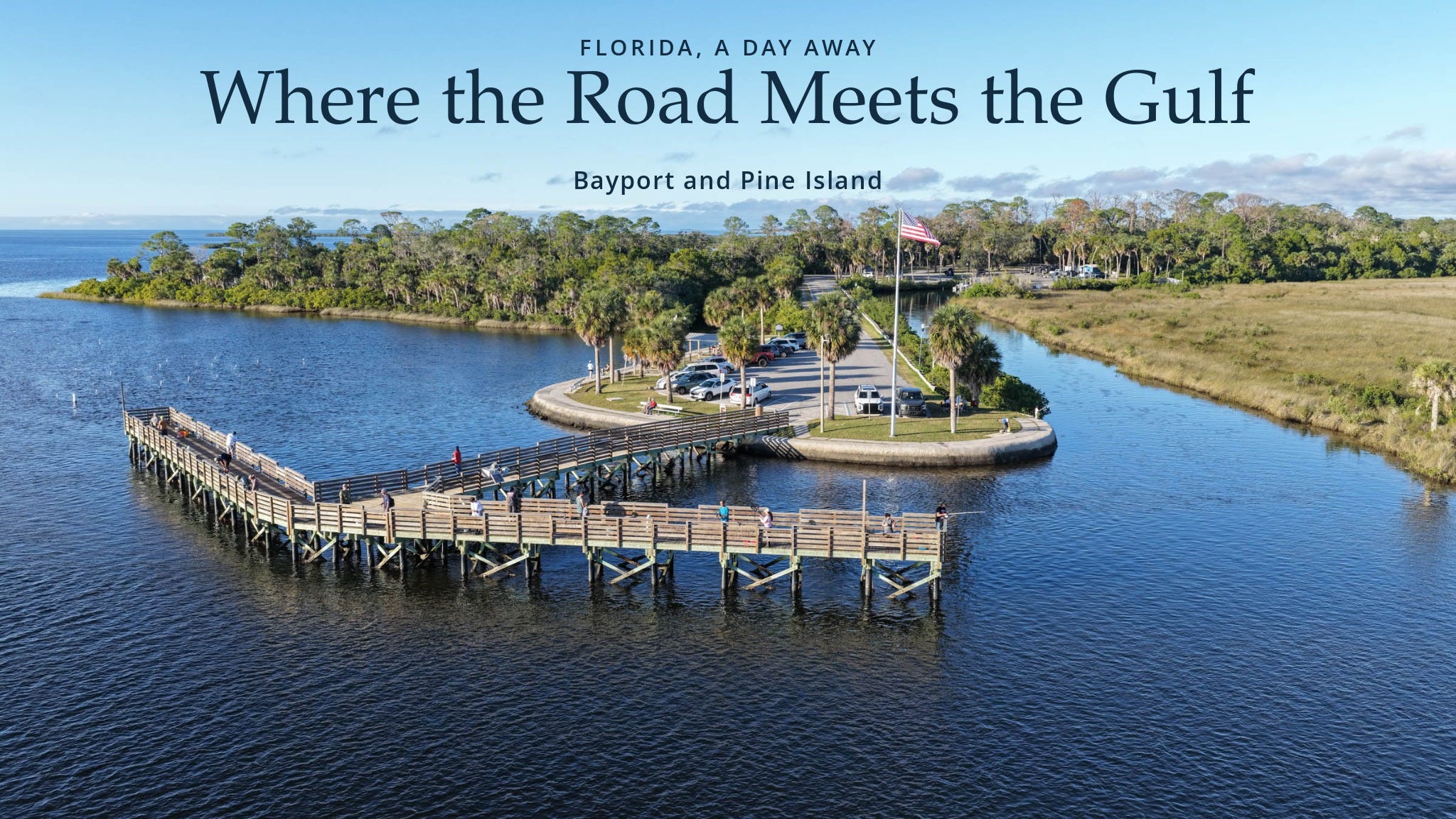
On my way home from Bayport and Pine Island yesterday, I kept coming back to a question. Was the ground I’d been driving over always dry, or had somebody hauled in enough fill to make a road, a neighborhood, or even a little piece of Florida where there used to be water?
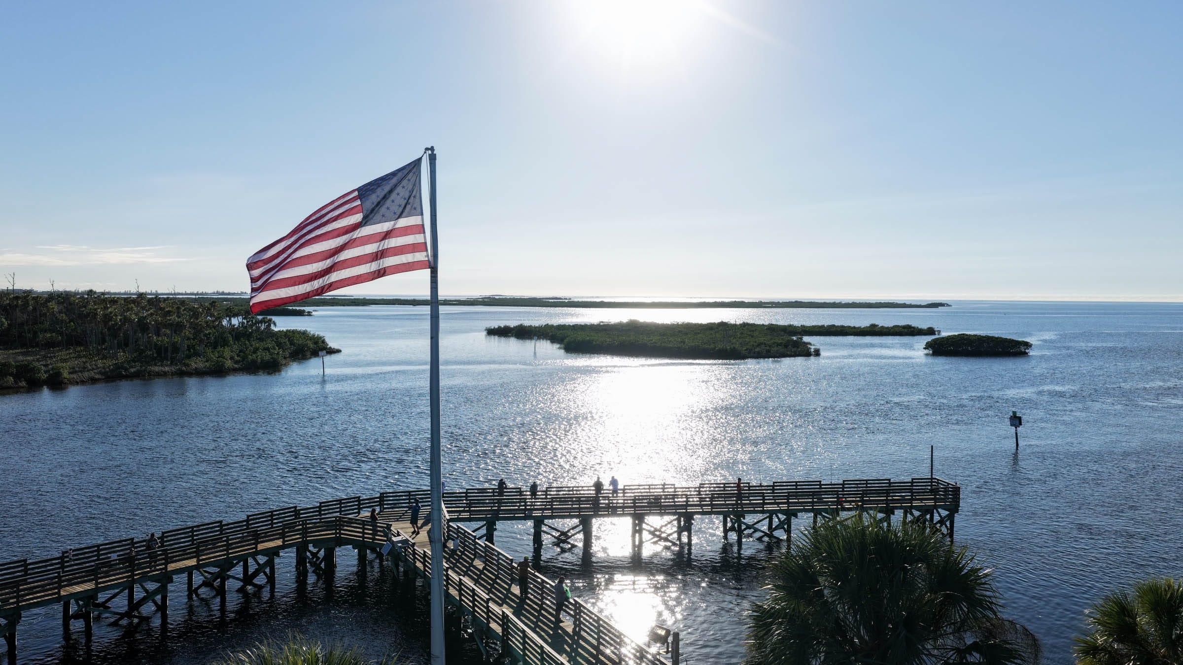
It started with my drone photograph…from above Bayport Park, you can see the road reach a rounded point, with a fishing pier angling out into the water and a broad sweep of marsh across the channel. The parking area has a clean, unmistakable edge. The marsh has a hundred little edges. Looking at the two in the same frame, I wanted to know how much of what I was seeing had been there before the first road went in.
There’s a surprisingly specific answer. The original county park occupied the tip of an upland peninsula. In the old Bayport harbor nearby, archaeologists found that a modern road crosses what used to be the harbor entrance and that material dug from an area behind it helped build the road. Some of the shoreline has also been cut into canals, while portions of the old harbor have silted in and become salt marsh. All of that is within a small stretch of coast. And the reason anyone bothered to build there in the first place goes back to a time when the best way to reach Bayport was by water. WaterMatters.org
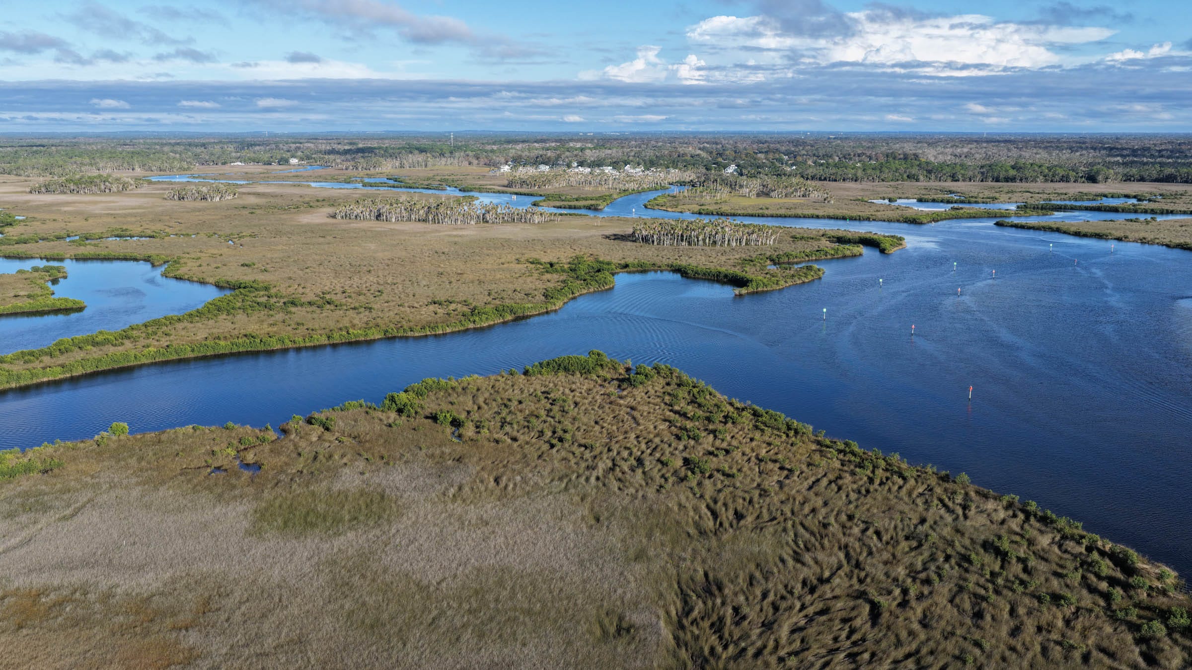
The parts people built
Bayport Park began in the 1950s as a roughly acre-and-a-half site with boat-launch facilities and a fishing pier. The Southwest Florida Water Management District describes that original site as the tip of an upland peninsula. Hernando County now lists the expanded park at seven acres, with a boardwalk, boat ramps, and more parking. That growth tells us how much the park’s footprint changed over time. To figure out exactly where fill went in, it helps to look beyond the park itself. WaterMatters.org
The Gulf Archaeology Research Institute did just that. Its researchers laid a Union naval officer’s 1863 battle map over a 2009 aerial photograph. The nineteenth-century drawing gets the main features remarkably right. You can still recognize the harbor, its channel, and the islands. The researchers also traced the changes that had come since. They identified Bayou Drive as a mid-twentieth-century road across the old harbor entrance and described ponds left by dredging for road fill. Residential canals changed other parts of the shoreline, and the old harbor basin has partly filled in. gulfarchaeology.org
That answered the question I’d asked myself in the car, at least for Bayport. Some of the dry ground was already there. Some of it came out of a nearby excavation. And some places that once held open water are marsh today because sediment settled there over time. The photograph that got me thinking was of the modern park. The clearest written evidence I found for fill was over at the old harbor. You could spend an afternoon with the aerial photograph and the battle map and still have questions left about where one shoreline ended and the next began.
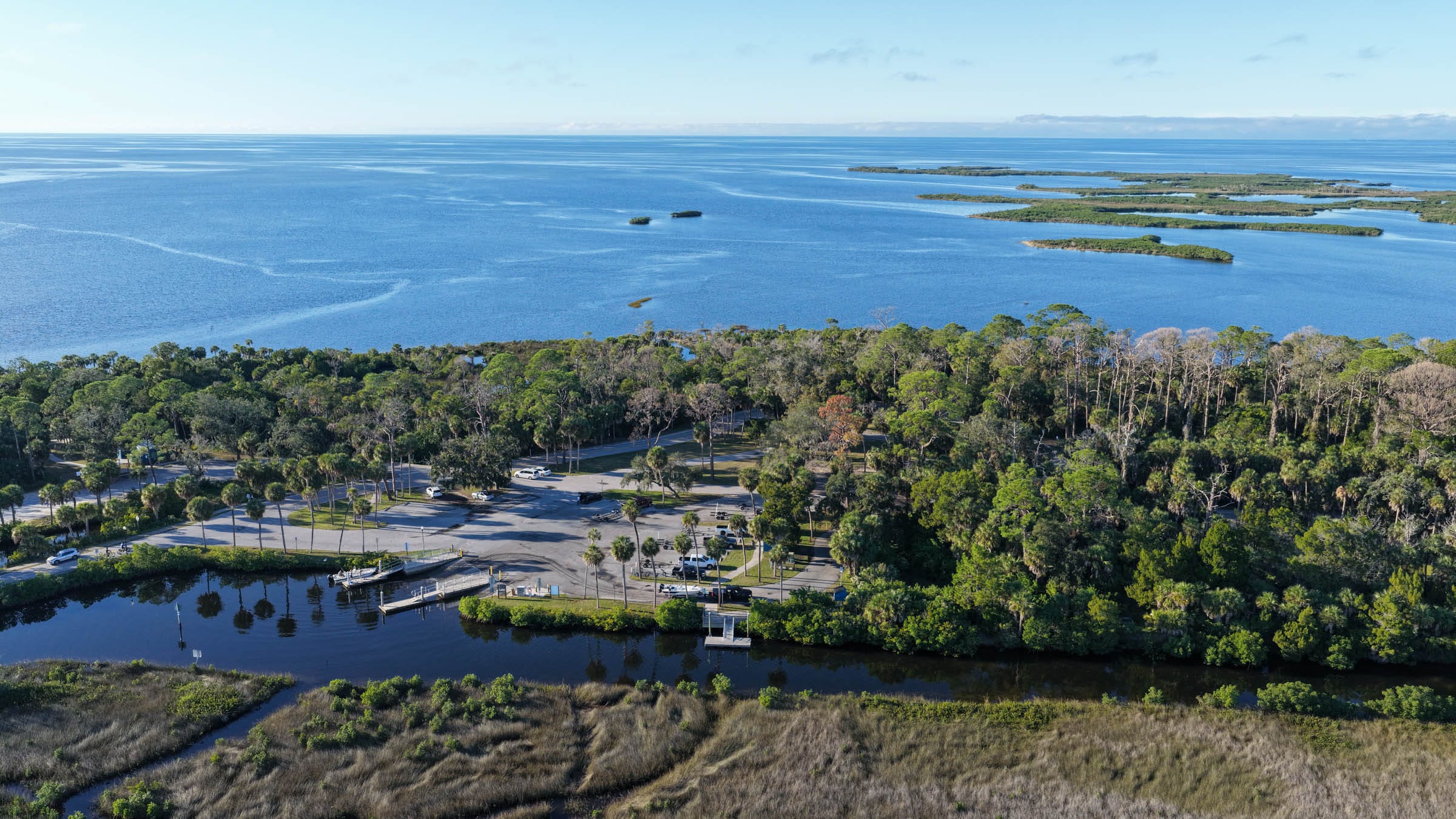
When Bayport was the way in
Today I can leave Dunedin, drive north, and end up at Bayport with my camera for the afternoon. In the 1850s, a shallow harbor on the Gulf could be a community’s connection to the outside world. Bayport had a wharf, warehouses, and a customs house. In 1854 it became the Hernando County seat, a distinction it held until 1856. By the start of the Civil War, the town had about forty houses. Cotton, produce, and timber moved through the port, including cedar used to make pencils. Of all the things I expected to learn about the village at the end of Cortez Boulevard, a connection to the pencils people wrote with was somewhere near the bottom of the list. Florida Division of Historical Resources
During the Civil War, Bayport’s size and geography took on a different value. The Union blockade made it harder for the Confederacy to use larger ports. Smaller harbors, especially ones with side creeks and shallow approaches, gave blockade runners places to load, hide, and wait. Bayport became part of a network that carried goods between Florida’s Gulf Coast and Cuba. Salt made by evaporating seawater helped supply Confederate forces. Cotton went out through the same harbor. The shallow water that limited what the town could become was one of the reasons it mattered during the war. Florida Division of Historical Resources
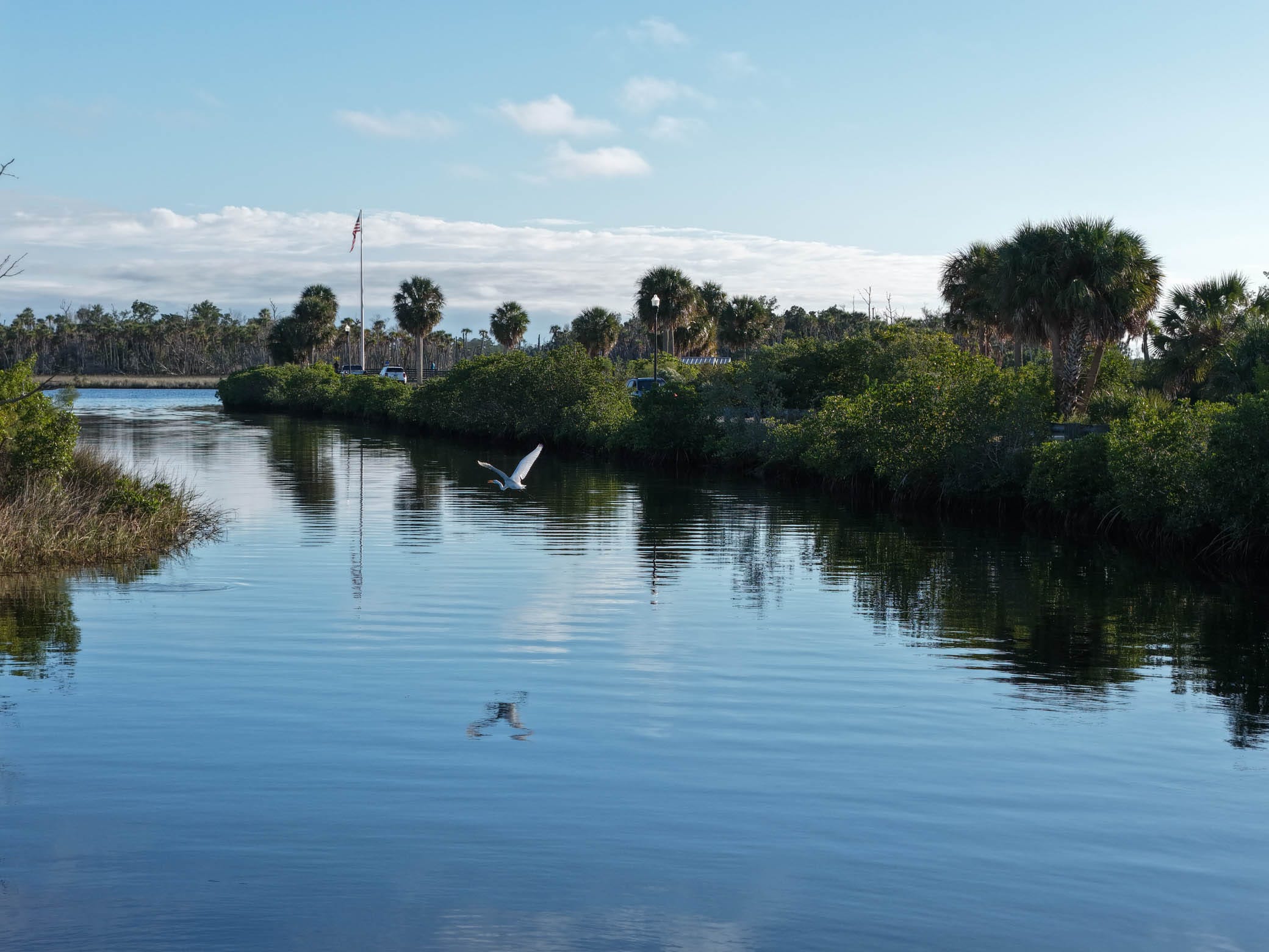
In early April 1863, Union crews came in aboard seven small boats launched from three warships. Four blockade runners hid up a creek. The Union crews captured the crew of the schooner Helen and set the vessel on fire. Confederate defenders burned another schooner themselves, this one loaded with cotton and waiting to sail. A second Union attack followed in September. A British side-wheel steamer flying a French flag was among the targets. Confederate forces burned the steamer and a nearby warehouse. You can read both accounts on the historical marker at Bayport Park, with the water in front of you. Florida Division of Historical Resources
After the war, Bayport rebuilt and continued shipping goods. The Eberhard Faber Pencil Company acquired land there in 1866, and cedar floated down the Weeki Wachee River for shipment onward to Cedar Key. A railroad reached Brooksville in 1885 and changed the economics of getting goods out of the county. Bayport found another audience in anglers, boaters, and travelers. The old Bayport Hotel had once been the home of John Parsons. Frances Goethe later managed it and ran a commercial fishing operation with her son Henry. The hotel burned in 1942. A century that had begun with wharves and warehouses ended with a very different village on much the same coast. Historic Hernando Preservation Society
A shoreline that moves with the tide
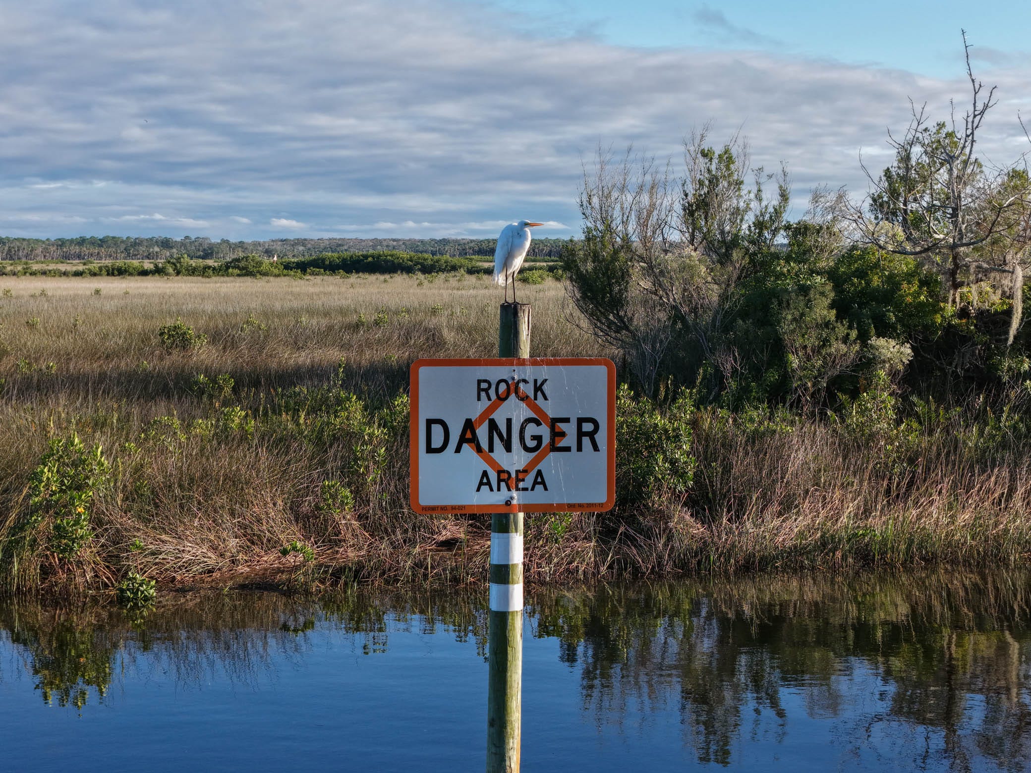
If you’re used to the beaches of Pinellas County, it takes a moment to get your bearings on this part of the Gulf. At Bayport I kept looking for a single line that separated land from water. The farther I looked into the marsh, the less sense that made. There was higher ground with trees, then grass, then little creeks running into wider water. On the way out, I photographed a sign that read ROCK DANGER AREA. It’s probably my favorite small detail from the day. The water looked perfectly navigable in a photograph. Somebody had gone to the trouble of putting up a sign to tell you what the photograph couldn’t.
Geologists describe this part of Florida’s Gulf Coast as a low, marsh-dominated coast built on limestone. The rock surface is irregular, and the Gulf shelf offshore is broad and shallow. Small differences in elevation matter here. Water can spread across a great deal of ground with little change in depth. At low tide, flats and oyster bars can become visible. As the water comes back in, the same places can disappear. Over far longer stretches of time, rising sea levels helped shape the coast itself. The view from the pier is one moment in all of that. U.S. Geological Survey
The birds give you a good excuse to stand still long enough to see it. I came home with about twenty photographs from the trip, and I could easily have made a whole separate essay out of the birds. The Great Florida Birding and Wildlife Trail suggests scanning Bayport’s marsh and flats for little blue herons, willets, and other waders and shorebirds. At Pine Island, the exposed flats can draw terns and winter shorebirds, including dunlin and short-billed dowitchers. Bring binoculars if you have them. From the pier or the beach, give yourself a few minutes to look at the same patch of water. A bird can move into the frame you’d already decided was empty. Florida Birding Trail
A few minutes farther, at sunset
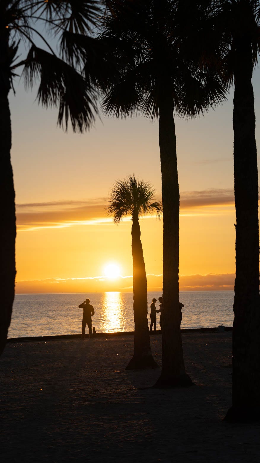
I stopped at Pine Island on my way home for one reason. I wanted to watch the sun go down from the beach. It was only a few minutes’ drive from Bayport, and it was gorgeous. After an afternoon with the camera, it felt good to stand on the sand with a clear view west and let the sun take as long as it took.
Pine Island has its own small history. A local account records that by 1950 a couple named Plummer lived there and made their living fishing commercially. Most of the housing development began in the early 1960s. The beach park carries the name of Alfred A. McKethan, a Brooksville banker who chaired Florida’s State Road Board and helped bring improvements to Cortez Boulevard and Pine Island Drive. A beach inventory documented concrete shoreline protection at the park and left open the question of whether the beach had previously been replenished. The road and the park show where people made the island more accessible. I came away with less certainty about the history of the sand under my feet. NatureCoaster.com
Bill Murphy’s One Tank Trips had the right idea about days like this. I remembered the old FOX 13 series because it made the Florida within driving distance feel like somewhere worth going. That’s what I want to do with Florida, a Day Away. I’ll take my camera, follow a question when one comes up, and leave enough room in the day for a stop I hadn’t planned. This time the question took me back to an old harbor, and the unplanned stop gave me a sunset worth staying for. baynews9.com
Make the drive
Start at Bayport Park, 4140 Cortez Boulevard, Spring Hill. Read the Civil War marker, then walk out on the fishing pier. Give yourself time to look back toward the road and across the marsh. If you’re bringing binoculars or a long lens, an afternoon timed around a lower tide gives you a chance to look for birds on the exposed flats. Bayport Park Hernando County
Finish at Alfred McKethan Pine Island Park, 10840 Pine Island Drive, Spring Hill. It’s a small county beach with picnic tables, restrooms, and a view straight out over the Gulf. The county lists parking at $5 per car, credit card only, and the park closes at sunset. I’d aim to get there an hour before sundown so you have time to find a spot and walk the beach. Pine Island Park Hernando County
If there’s a place within a day’s drive of Tampa Bay that you’ve always been curious about, tell me where it is. I’m making a list.